Tuesday, September 22, 2015

Crystal Lake Trail to Upper Crystal Lake- Mount Rainier National Park- WA- September 2015

This was an 8-10 mile out and back hike where permit is needed for overnight camping/backpacking. About one mile before the Sunrise Entrance to Mount Rainier, you will find a parking lot on both side of the road. If on the weekend, expect it to basically be full. It probably holds about 30 cars. Didn't see any fee requirements and didn't get a ticket. As you come to the parking lot, the trailhead is on the left. The trail takes you through classic PNW forest with minimal views. The elevation increase is essentially constant with switchbacks much of the way. Moss covers the ground and hangs from the trees. You will get a few limited views of Rainier as you make your way up. About half way, you can choose to either go to the peak or continue on to the lower and upper lakes. The trail is wide, clear, and relatively easy. We got our permit (the last one) for overnight at the Sunrise entrance day of. We were hoping for a different hike but the permits were all taken. Our permit was for the upper lake (One of only two!). Once you arrive at Upper Crystal lake, you have an amazing view especially if you make your way up the ridge. The lake is pristine and beautiful surrounded by sparse cascade fir trees (?). There is a simple path that goes around the lake. There is an open toilet and a bear pole although I'm pretty sure a bear could just push over the pole to get to your food. No bear sightings. We saw a few deer, lots of birds whizzing through the trees, and didn't look like there were fish in the lake. The campsite was decent, enough for three tents if needed, no campfires or dogs allowed.

On the opposite end of the lake, there is a subtle trails not marked on maps that connects you to the PCT. called Sourdough Pass. I strongly suggest taking this as it provides the best view of Rainier and the lake below. It is a smaller trail, but clear and easy to hike.

We stayed one night. The night was very chilly with sporadic rain. The night was extremely silent, no insects or amphibians calling out.

Generally, I would say this would be a good day hike if you are looking for something easy to get to and don't want to pay the park entrance fee.


Saturday, June 27, 2015

Lake Durbin- Bunchgrass Trail Head- Thousand Lakes Wilderness- Lassen Volcanic National Park

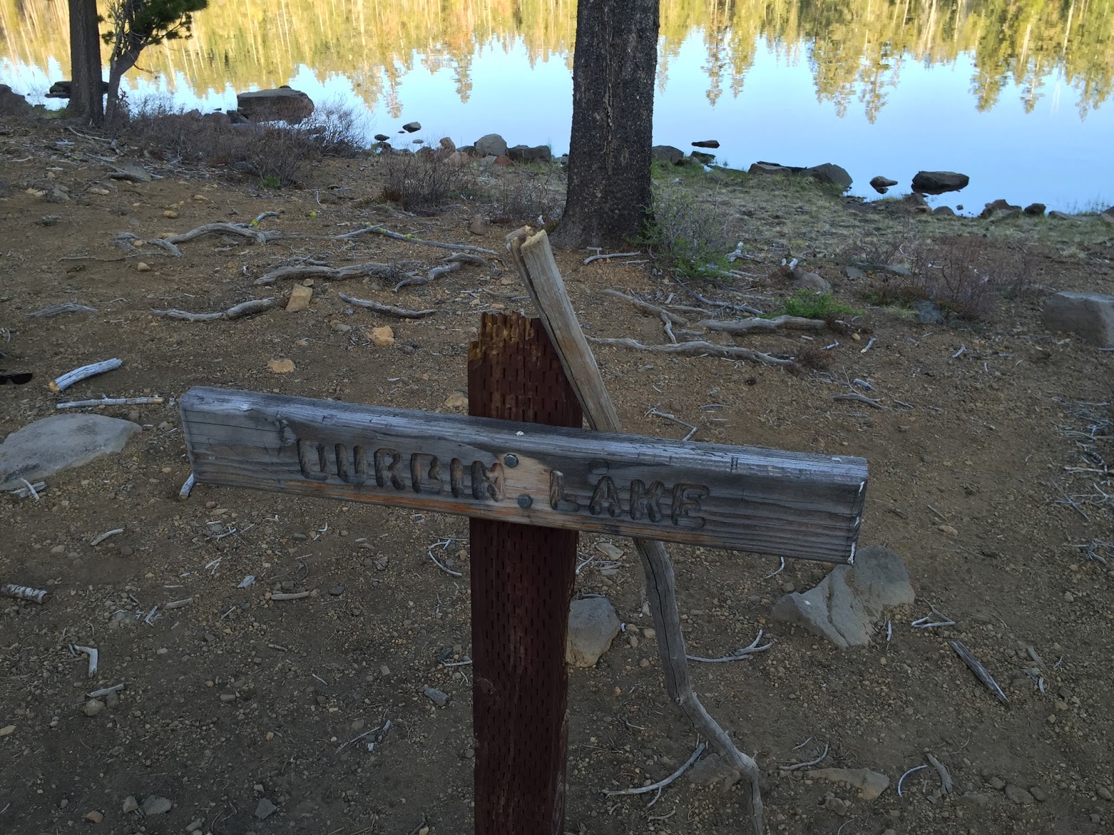
May 2015. This was a 8 mile, 4mile one-way out and back hike to Lake Durbin in the Thousand Lakes Wilderness. It was an adventure just getting to the trailhead, but if you want isolation and the wilderness for yourself, this is the place. We did not run in to or see one person after turning off the highway. The road is somewhat rough, potholes, and chunky rocks to fill the road. You could do this with a 2 wheel drive car, although I was happy to have all wheel drive. There are some roads that criss cross your route, but if you follow the directions (coming soon), you will eventually see a sign indicating the trailhead.

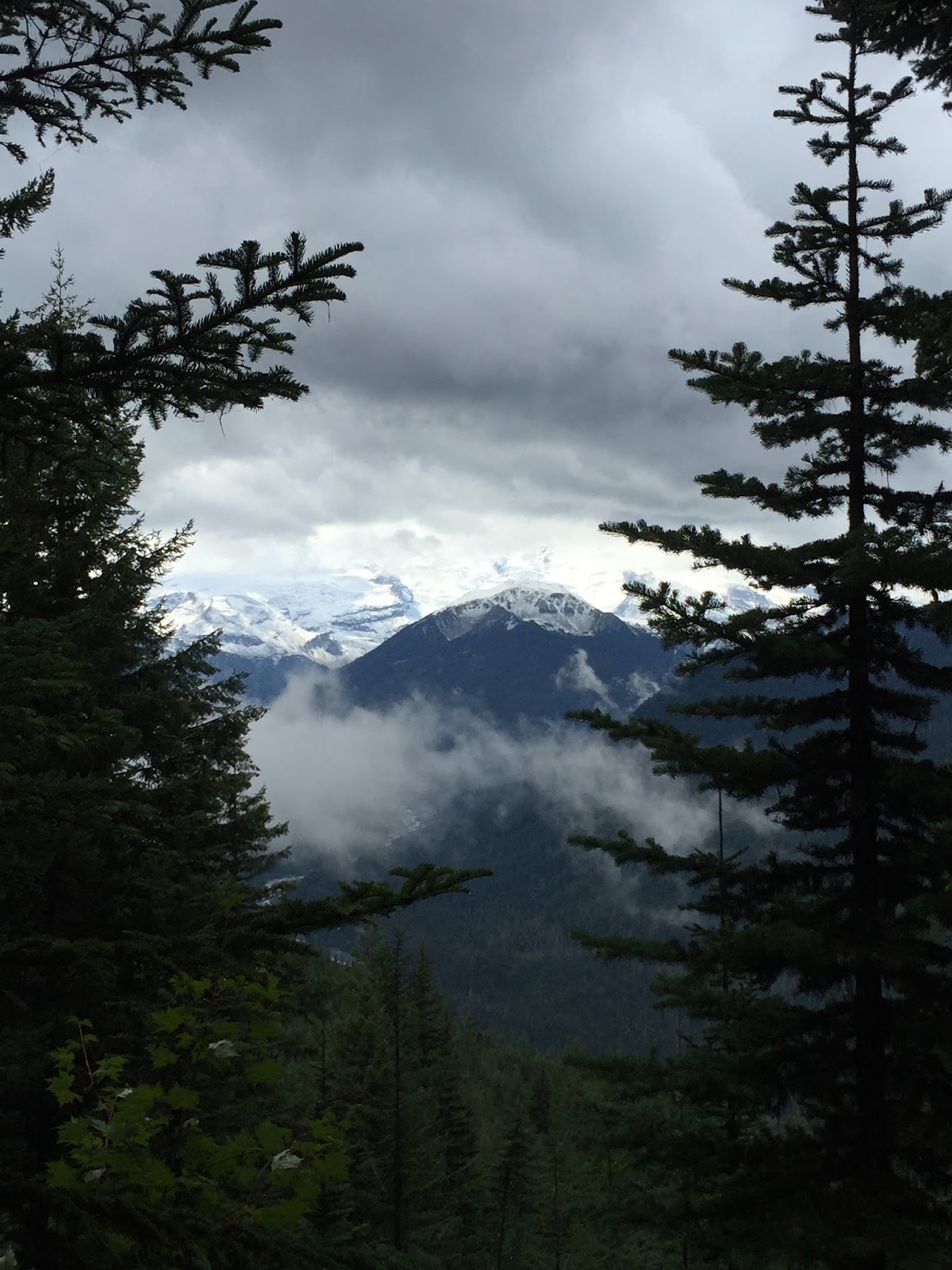
The starting point of the trailhead was around 5,000 ft. and rose to about 7,000 ft. In general, relatively flat, no snow anywhere, and easy hike. The trail was clear, wide, and apparently made for horses to travel on so the actual hike was relatively easy. The landscape was sparse to moderate pine and various shrubs with volcanic rock throughout, with a high sierra feel. The trail was easy to follow, had some great views of Mt. Lassen and various other peaks in the area. There were a good amount of fell trees over the trail. The trail took us right to Durbin Lake. We found a few camp sites around the lake and chose one with a great view of the lake, although more exposed than the other we found. There are large and well protected camp fire rings. There is a clear trail leading, I assume, to more lakes, but we were content posting up at Durbin and enjoying the weather, isolation, and scenery. No animal encounters outside of a wide variety of birds including hawks, woodpeckers, and some kind of duck. Fish were present but unfortunately forgot the fishing pole. The hike out was even easier and faster and probably took a little less than two hours to get back out.


Thursday, June 5, 2014

Cinder Cone to Rainbow Lake to Snag Lake to Butte Lake: Lassen Volcanic National Forest May 2014


 Hike to Cinder Cone
 Lava Flow
 View of Cinder Cone


 Painted Sand Dunes


 Rainbow Lake

 Lassen Peak
 Butte Lake

This is an 8-10 mile-ish backpacking trip that can also be done as a hike. Very little elevation changes throughout the entire hike. Very unique landscape from old lava flows, painted sand dunes, pines tress, burnt trees, and many beautiful little lakes. Bugs were limited. We went on Memorial Day weekend and there were very limited people here. This is an underutilized gem! Follow directions to Butte lake camp grounds and you will see signs once you arrive where to go. The trail to Cinder cone is extremely easy, wide, and groomed (or at least looks like it). You initially walk along volcanic sand flanked by a huge wall of volcanic flow frozen in time. Cinder cone is a huge hill with a steep but short .5 mile hike to the top. Behind it, you will see sand dunes with tints of red. Since we were packing, we hiked on past and went straight to Rainbow lake. A little tricky to find a spot to camp so walk around the lake and you will find them. No campfires… The next day, we hiked to Snag lake and camped there. The water looks dirtier compared to Rainbow lake. Another hiker told us that there were leaches in the water so double check your body when you get out if you go swimming. Lot's of deer in the area. They came out at dusk and by nightfall, they had fully surrounded our camp and were doing strange things while we tried to sleep just feet from our camp and would not leave even when 'prompted'. The hike back to the parking lot is also beautiful, and you get to walk along Butte Lake which is blue and clear with one side being the lava flow. Very cool. The final push is a very steep incline but only about .5 miles before it levels out and you get to the parking lot. Bring 10$ for parking.

Friday, April 4, 2014

Arroyo Seco Gorge/Santa Lucia Trail- Ventana Wilderness, CA


Distance varies, your choose, we went about 7 miles. From the Arroyo Seco Campground (day parking is about 10$/day) you have two choices: walking along an old dirt mining road (lots of mountain biking backpackers) or a typical hiking trail with LOTS of poison oak. We chose the poison oak (: The trail is easy except for dodging poison oak with inclines and declines meandering around the hills until you meet up with the access road, take a left and you will run into an adobe hut. If you go to the left of this, you will cross a small creek and eventually run into a sign marked "trail" pointing to the right. We went left to follow the creek which eventually lead to a beautiful and secluded waterfall. We had it all to ourselves. I tried swimming but a little cold. On our way back, we discovered the access road goes for miles, not really sure where it leads but many mountain bikers and backpackers were going or coming from this area. We decided to take the road back and discovered all these little water ways where people were playing, floating, and eating near the river. We went in late March so there were fewer people there. A friend from the area says that it is more of a party spot in the summer so shoot for non-peak season if you want the place to yourself. The extra green lake is definitely not good for swimming or anything other than unique pictures.