Monday, May 20, 2013

Granite Lake- near Silver Lake CA


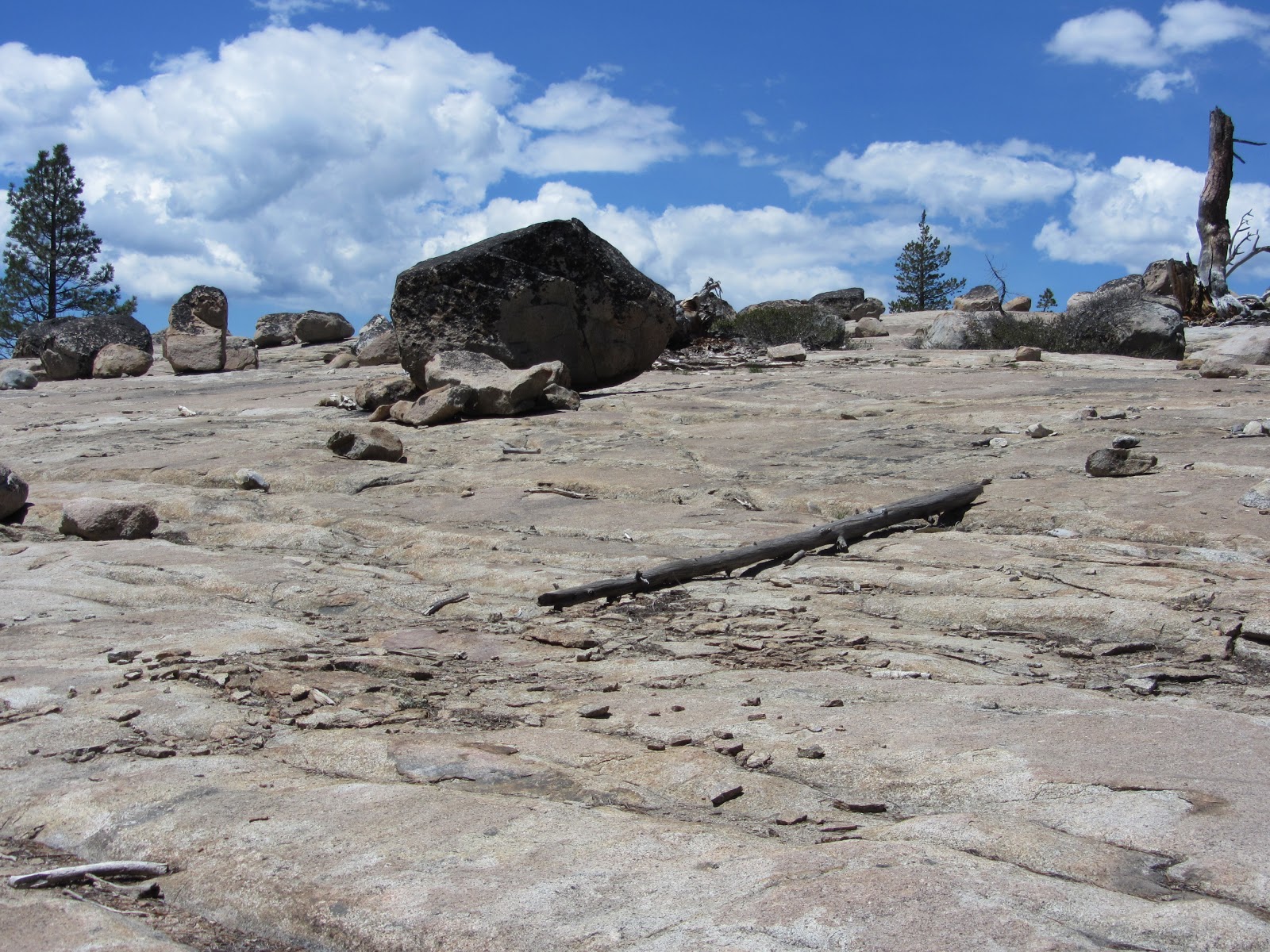
After attempting to hike on the Emigrant Trail passed Kirkwood and finding ourselves snowed out, we went down the road a little bit toward Sac (about 15 miles) and just tried a trail we found on a trail map on the side of the road. From Silver Lake just off the 88, we parked in day parking scattered throughout a little neighborhood of cabins. You can park within the cabins on a dirt one lane road. We oriented ourselves with our destination on a map and began our trek. We took the lower dirt road, parked on the water and had to hike about 3/4m extra to the sign indicating Granite and Plasses lakes. The elevation is 9000-10000 ft so you can get a little winded, but the hike isn't that far, so its worth it! You pass a waterfall with a wooden bridge, many beautiful ponds, and mini lakes on your way up. We ran into one person the entire time, great for seclusion, and you will encounter a beautiful and untouched area. Great for having a picnic. Granite lake is on the map, although not searchable so just look above (I think South) on a map from Silver Lake that is basically on highway 88. Our hike total was about 4 miles. This hike was done in early May. A little sooner than expected, but we anticipated that there would be less snow and we were right, at least for this hike. May 2013

Mount Diablo- CA- North Peak/Devil's Elbow


Mount Diablo has many smaller hikes so you can choose how long you want to go, what kind of terrain you want, etc. It was a little confusing at times due to criss crossing trails, but for this hike, follow the main trail (biggest path) and you won't get lost. From the parking lot at the top, you can take the main Mount Diablo Summit trail to the next connection with the road. Go left passing the map above. This will take you towards North Peak and various other hikes. The trail is well maintained consisting of rock, dirt, and an old maintenance roads. Yes there are some towers at the top that take away from the sense of being in nature, but the views are worth it! We hiked about 4-5 miles total to the end and back, although the signage is confusing. We ran into few people. Don't forget to bring cash as you will need to pay (I already forgot), no more than 10$ to get in. On the small road up to the top, there are many little day picnic "nooks" that offer private park benches and spaces to have some great picnic's. April 2013.

Monday, April 1, 2013

Pine Ridge Trail to Sykes Hot Springs- Big Sur, CA


This is a 20 mile trek (out and back) into Big Sur wilderness. The hike begins at Ventana Wilderness Area Ranger Station literally off of highway 1. There is a backpacker parking lot (5$/day) at the station, but come early as the spots were filled when we got there. You can also park along side the highway. The hike goes along the hillsides in and out of redwood forests that look like are recovering from a forest fire in the last ten years. There are many bends and curves and ups and downs, but nothing too steep. The path is clear and mostly dirt and granite. The spring flowers are beautiful and I counted about 16 different types of flowering plants. You pass a few campgrounds along the way. You also pass a few creeks. The creeks were low and not a problem when we went. The final creek is slightly larger and will force you to either take your shoes off, find a log to crawl over or rock jump. At this point, you are basically at Sykes Springs. You can camp to the left or right. You can tell where others have camped before. There were probably 40 people camping when we arrived. Don't expect seclusion. We chose to go to the springs in the morning hoping there would be fewer people. There are no signs so go left when you arrive at the river/creek. Go about 15 minutes following the river flow. The springs will be on the left side. There about 4 or 5 little pools perfect for two. Follow the smell of rotten eggs. Expect the unexpected... we ran into a naked pair and another in the process of proposal with the ring out! We were pleasantly surprised by hot tub like hot springs with a view of the river! April, 2013

Monday, March 25, 2013

Mount Saint Helena, CA- Robert Louis Stevenson State Park


Mount St. Helena is the highest point in Sonoma County, CA. From Napa, follow past Calistoga on highway 29 up a section of road that has many curves, pay attention for a sign about 8 miles up the road and you will see a small parking lot, no fees. This is a relatively easy out and back hike. No points to fill up on water, so pack it in. The first section is a covered trail the includes switch backs. For the majority of the trip, you will be on a gravel road (a little disappointing) only traveled on by hang gliders (two vans passed us on the road with their equipment on top) and maintenance crew. Since it is relatively easy, on nice days, expect a lot of people. Since there is little cover for most of the hike, better to do on cooler days in the Fall or Spring. The views make the hike worth it. There are some nice rock climbing walls along the way as well. Once you get to the top, there are nice places to sit with almost a 360 view of the entire region. It is also fun watching the hang gliders use the up draft to fly around above you. You share the top of the mountain with a huge antenna tower (not very pretty). This is a longer hike and gives you great perspective of the surrounding geography. Probably not a hike I would do again. March, 2013. 10 miles.

Thursday, March 14, 2013

Stebbins Cold Canyon Reserve- Blue Ridge Loop Trail


This hike is an easy drive from Sacramento/Davis CA. In fact, it is a beautiful drive just to get to this location. Take Highway 128 and if you get to a damn, you went about a 1/4 mile too far. Above is the parking lot which is usually pretty empty, but on good days, it can get pretty full. You will most likely run into people on this trail that includes everything from climbing up rocks, stairs, and switchbacks. Great views from the top of Lake Berryessa. The first part of the hike is mostly covered, but be careful hiking in the summer here as you can get pretty hot and exposed for 2/3 of the hike. Good easy day hike. The signs indicate that this is a 5 mile hike. March 2013

Wednesday, January 30, 2013

Mt. Rainier- Paradise (snowshoeing)


Starting at the lodge next to the main parking lot, travel just to the right of the small snow park which will lead you up the mountain. Depending on your ability level you might want to wait for others to make the first tracks as this will make it easier to find your way and less tiring. We did not wait and trail blazed until we found a nice place to set up shop. We tried out a new shovel, dug a man hole, and pretended we were in a survival situation. The cave/hole was surprisingly warm and quiet. We had lunch here out of the snow and wind. Actually pretty easy to make with a shovel. Very important when avalanche is a possibility. This was an easy location to find, not completely isolated, but the further you go, the fewer people you will run into. Don't forget to bring your pass or cash for entry into the park. Also, they often require 4 wheel drive and chains in your car in the winter. If you forget chains, there is a nice lodge you can pick some up before you enter. December 2012.