Wednesday, June 5, 2013

Crabtree Trail- Emigrant Wilderness- Stanislaus National Forest- CA


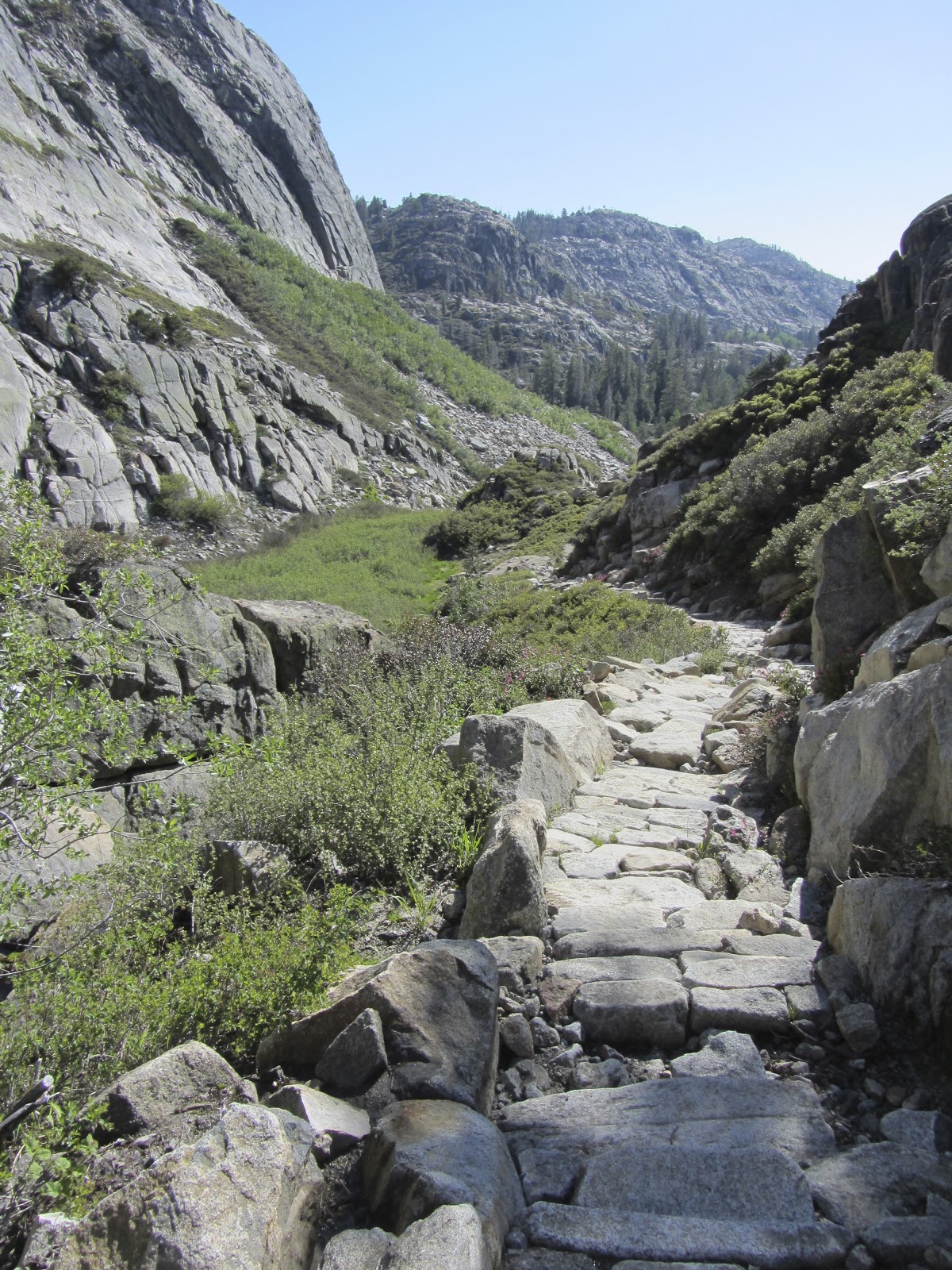
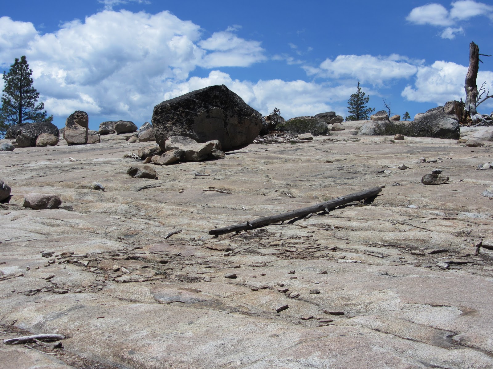
This hike is an outback or loop trail. We hiked about 25 miles in this area over the course of four days. We chose this area based on the reported quality of fishing along the hike. We saw plenty of fish along this hike, but had little luck catching any. The hike presented many different landscapes, but mostly dry granite, with sparse trees, lakes, meadows, and ponds speckled throughout. We had to cross 5 rivers/streams that forced us to take our shoes off and fjord across. Other streams could be crossed by logs or rock hopping. Most of the trail is clearly marked with a few areas forcing you to wondering around. We arrived early in the season. As a result, snow, flooded areas, and fallen trees made our route less direct. We ran into many deer, a few snakes, and various other rodents. No signs of bears or cougars. At night, the sounds of frogs took over. During the day, mosquitoes ruled. Make sure to bring a bug net at least for your head. Me and my friend were debating if this was the worst we have experienced for mosquitoes and I think we both agreed it was. We found ourselves, at times, literally running down a trail with our packs trying to get away from them. Not fun. For fishing, Deer lake may have been a little too cold, although we tried! We focused on the stream coming in to the lake as we could see all the fish sitting in the streams. We tried a variety of baits, tackle, and techniques. Just not interested. Because not all the lakes allow you to camp, plan out your hike beforehand. We didn't really do this and found ourselves stuck at a place with no camping so we decided to just hike the remainder out. Camp lake and Gem lake seemed to have more active fish. We encountered maybe 10 people total. All very nice. The flowers were just blooming and were beautiful sticking out from the granite and pine trees. The streams and lakes were cold but a good chance to clean off and cool down. A great hike for seclusion, high sierra country, fishing, and having options. You can lengthen or shorten your trip almost anywhere along the hike. I recommend this hike whether for backpacking or just a day hike. Make sure to stop at the ranger station to get the overnight permit, fire permit, and ask around about what to do and see.

Monday, May 20, 2013

Granite Lake- near Silver Lake CA


After attempting to hike on the Emigrant Trail passed Kirkwood and finding ourselves snowed out, we went down the road a little bit toward Sac (about 15 miles) and just tried a trail we found on a trail map on the side of the road. From Silver Lake just off the 88, we parked in day parking scattered throughout a little neighborhood of cabins. You can park within the cabins on a dirt one lane road. We oriented ourselves with our destination on a map and began our trek. We took the lower dirt road, parked on the water and had to hike about 3/4m extra to the sign indicating Granite and Plasses lakes. The elevation is 9000-10000 ft so you can get a little winded, but the hike isn't that far, so its worth it! You pass a waterfall with a wooden bridge, many beautiful ponds, and mini lakes on your way up. We ran into one person the entire time, great for seclusion, and you will encounter a beautiful and untouched area. Great for having a picnic. Granite lake is on the map, although not searchable so just look above (I think South) on a map from Silver Lake that is basically on highway 88. Our hike total was about 4 miles. This hike was done in early May. A little sooner than expected, but we anticipated that there would be less snow and we were right, at least for this hike. May 2013

Mount Diablo- CA- North Peak/Devil's Elbow


Mount Diablo has many smaller hikes so you can choose how long you want to go, what kind of terrain you want, etc. It was a little confusing at times due to criss crossing trails, but for this hike, follow the main trail (biggest path) and you won't get lost. From the parking lot at the top, you can take the main Mount Diablo Summit trail to the next connection with the road. Go left passing the map above. This will take you towards North Peak and various other hikes. The trail is well maintained consisting of rock, dirt, and an old maintenance roads. Yes there are some towers at the top that take away from the sense of being in nature, but the views are worth it! We hiked about 4-5 miles total to the end and back, although the signage is confusing. We ran into few people. Don't forget to bring cash as you will need to pay (I already forgot), no more than 10$ to get in. On the small road up to the top, there are many little day picnic "nooks" that offer private park benches and spaces to have some great picnic's. April 2013.