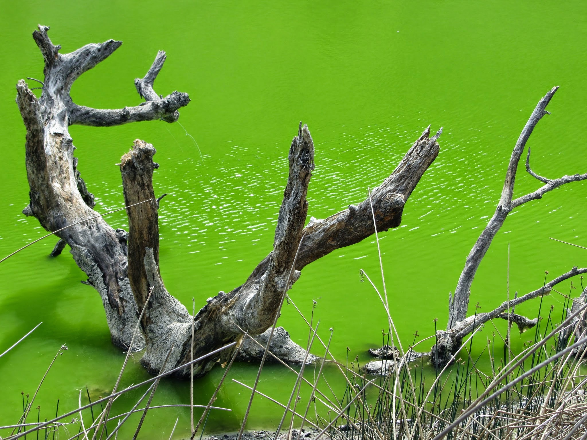
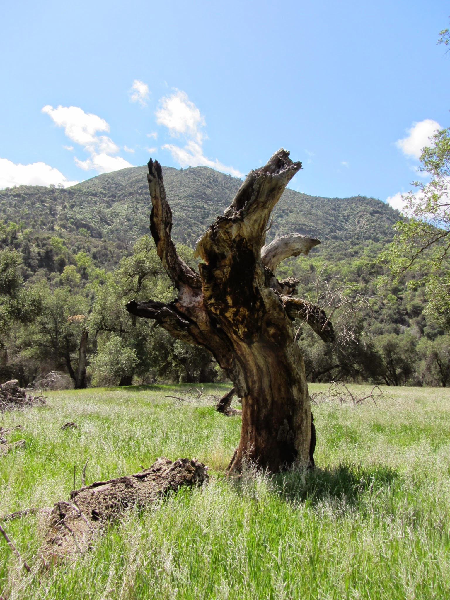
This is an 8-10 mile-ish backpacking trip that can also be done as a hike. Very little elevation changes throughout the entire hike. Very unique landscape from old lava flows, painted sand dunes, pines tress, burnt trees, and many beautiful little lakes. Bugs were limited. We went on Memorial Day weekend and there were very limited people here. This is an underutilized gem! Follow directions to Butte lake camp grounds and you will see signs once you arrive where to go. The trail to Cinder cone is extremely easy, wide, and groomed (or at least looks like it). You initially walk along volcanic sand flanked by a huge wall of volcanic flow frozen in time. Cinder cone is a huge hill with a steep but short .5 mile hike to the top. Behind it, you will see sand dunes with tints of red. Since we were packing, we hiked on past and went straight to Rainbow lake. A little tricky to find a spot to camp so walk around the lake and you will find them. No campfires… The next day, we hiked to Snag lake and camped there. The water looks dirtier compared to Rainbow lake. Another hiker told us that there were leaches in the water so double check your body when you get out if you go swimming. Lot's of deer in the area. They came out at dusk and by nightfall, they had fully surrounded our camp and were doing strange things while we tried to sleep just feet from our camp and would not leave even when 'prompted'. The hike back to the parking lot is also beautiful, and you get to walk along Butte Lake which is blue and clear with one side being the lava flow. Very cool. The final push is a very steep incline but only about .5 miles before it levels out and you get to the parking lot. Bring 10$ for parking.