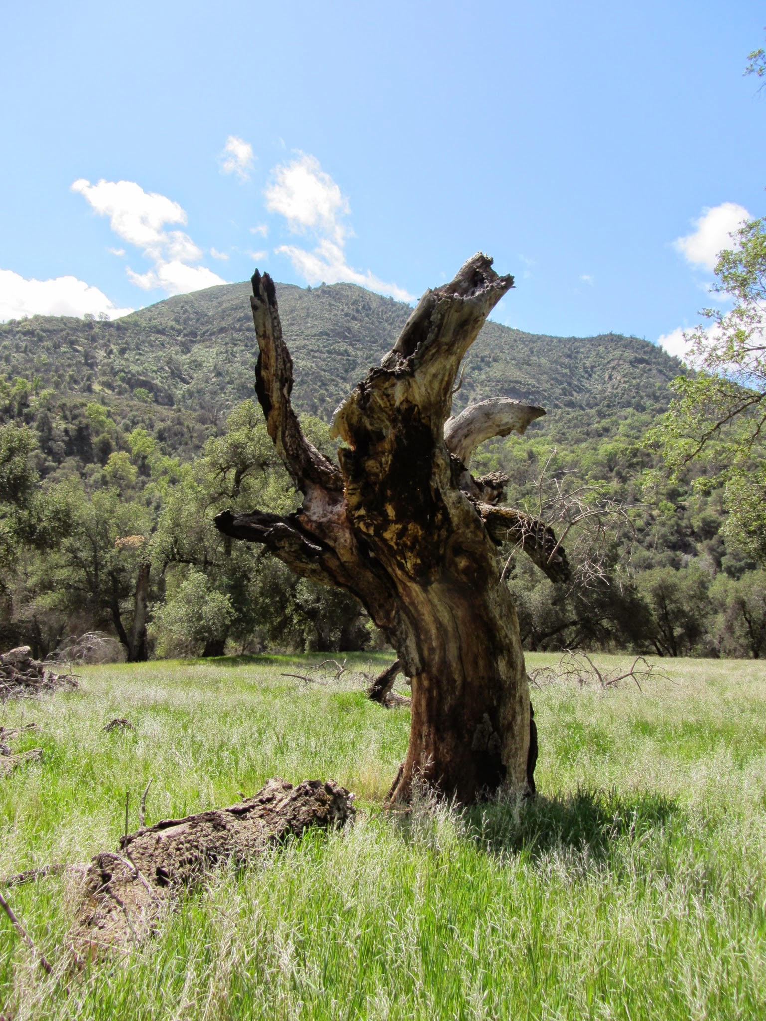
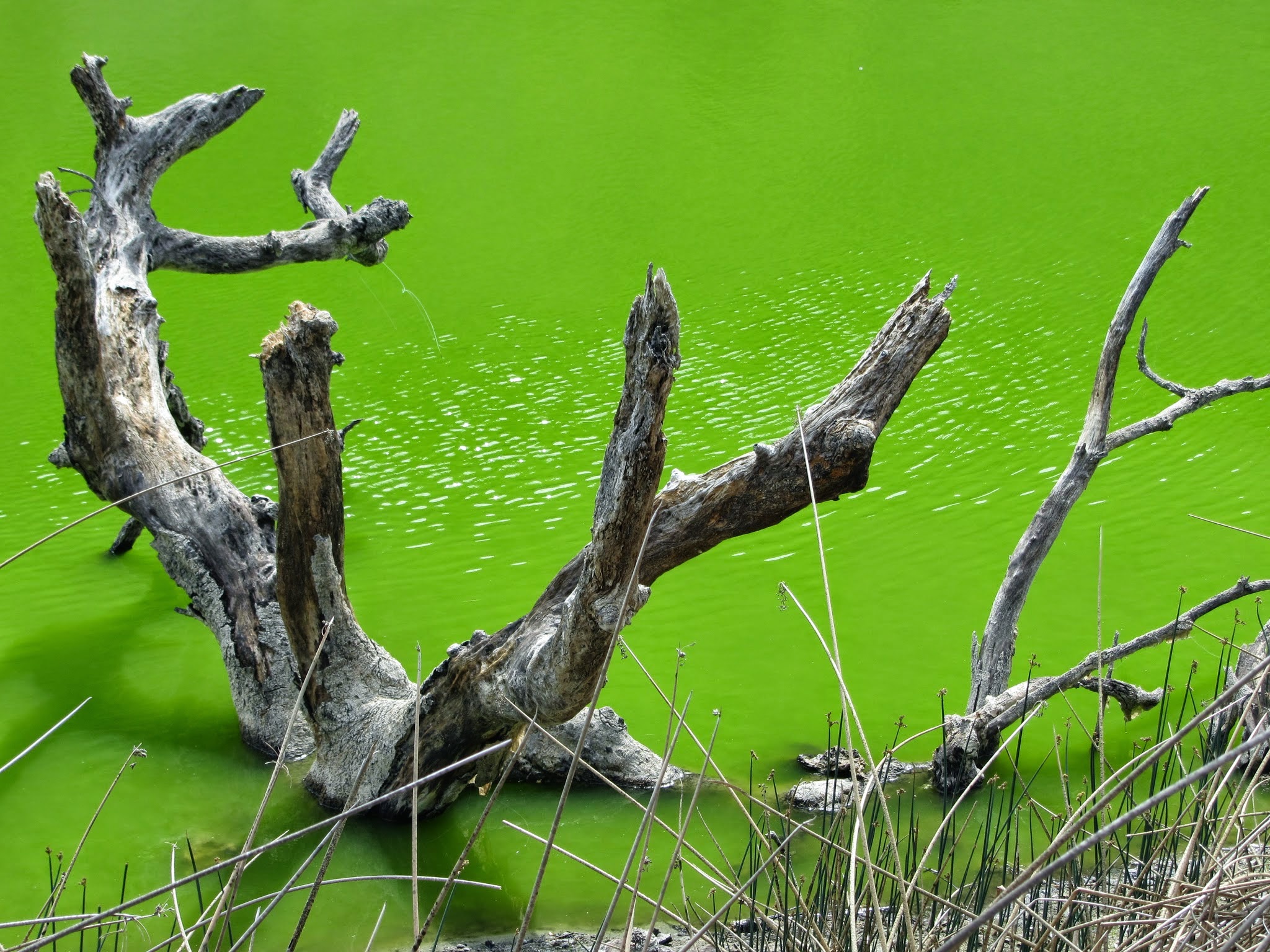
Distance varies, your choose, we went about 7 miles. From the Arroyo Seco Campground (day parking is about 10$/day) you have two choices: walking along an old dirt mining road (lots of mountain biking backpackers) or a typical hiking trail with LOTS of poison oak. We chose the poison oak (: The trail is easy except for dodging poison oak with inclines and declines meandering around the hills until you meet up with the access road, take a left and you will run into an adobe hut. If you go to the left of this, you will cross a small creek and eventually run into a sign marked "trail" pointing to the right. We went left to follow the creek which eventually lead to a beautiful and secluded waterfall. We had it all to ourselves. I tried swimming but a little cold. On our way back, we discovered the access road goes for miles, not really sure where it leads but many mountain bikers and backpackers were going or coming from this area. We decided to take the road back and discovered all these little water ways where people were playing, floating, and eating near the river. We went in late March so there were fewer people there. A friend from the area says that it is more of a party spot in the summer so shoot for non-peak season if you want the place to yourself. The extra green lake is definitely not good for swimming or anything other than unique pictures.
My blog is intended to be an informative guide for hiking and backpacking. While books and official sites are helpful, I am always left with a sense of uncertainty about the adventure. I figured it would be helpful to have a little more qualitative data and some pictures to help inform your choices. I also hope to share my adventures with friends and family who wonder what I do with my time. Suggestions on places to hike or what to include in my blog would be much appreciated! Enjoy!
Friday, April 4, 2014
Arroyo Seco Gorge/Santa Lucia Trail- Ventana Wilderness, CA
Distance varies, your choose, we went about 7 miles. From the Arroyo Seco Campground (day parking is about 10$/day) you have two choices: walking along an old dirt mining road (lots of mountain biking backpackers) or a typical hiking trail with LOTS of poison oak. We chose the poison oak (: The trail is easy except for dodging poison oak with inclines and declines meandering around the hills until you meet up with the access road, take a left and you will run into an adobe hut. If you go to the left of this, you will cross a small creek and eventually run into a sign marked "trail" pointing to the right. We went left to follow the creek which eventually lead to a beautiful and secluded waterfall. We had it all to ourselves. I tried swimming but a little cold. On our way back, we discovered the access road goes for miles, not really sure where it leads but many mountain bikers and backpackers were going or coming from this area. We decided to take the road back and discovered all these little water ways where people were playing, floating, and eating near the river. We went in late March so there were fewer people there. A friend from the area says that it is more of a party spot in the summer so shoot for non-peak season if you want the place to yourself. The extra green lake is definitely not good for swimming or anything other than unique pictures.
Subscribe to:
Posts (Atom)